Apps and other digital applications have gradually found their way into the spatial design toolkits of Estonian local governments. I asked various local governments what kind of digital co-creative and engagement tools they have launched for smart governance.
Kaja Pae: What is the smart app of Elva municipality like?
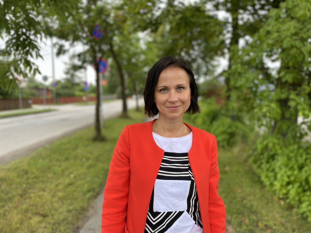
KERTU VUKS, Head of Development and Planning Department of Elva
The app provides the municipality with better possibilities for informing and engaging local people, it is crucial in cases where we need to share information fast. The idea came from the municipality’s development plan brainstorming event Mad Ideas seminar.
One of the key functions of the app is the possibility to give feedback and ask questions about the town maintenance and issues regarding construction, street and road maintenance, waste management, social benefits and services, public transport, entertainment and other local services. The app allows people to upload a photo of a problematic situation with its description and location on the map.
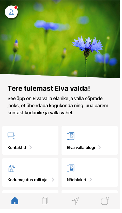
There is also an event calendar to keep local people up to date with the events in the municipality. It also allows the events to be included in the calendars on their phones.
We often use the app also to ask people’s feedback on the management of daily life in the municipality, information sharing, engagement and other topics, so it allows them to express their opinion and have a say in the local matters.
Today, there are 1964 app users and we hope to increase the number in the future. According to our plans, users can soon submit various applications through the app with also improved possibilities for sharing tourist information.
Kaja Pae: In which projects have you used idea collection tools based on map apps in Tartu and what were the results?
LILIAN LUKKA, Communication Manager of Tartu City Government
In creating map apps, we use various ESRI ArcGIS tools. The first such idea collection was conducted in the comprehensive plan process in 2017. There were numerous proposals, with several additions made to the plan especially regarding playgrounds and dog walking areas.
We have also used the map to ask about the location of smart bike stations, the attractions to be included in the new signposting system and the areas for new bike lanes.
This year, we used the map app also for collecting feedback on the new comprehensive plan draft with more than 260 people making almost a thousand proposals during the public display.
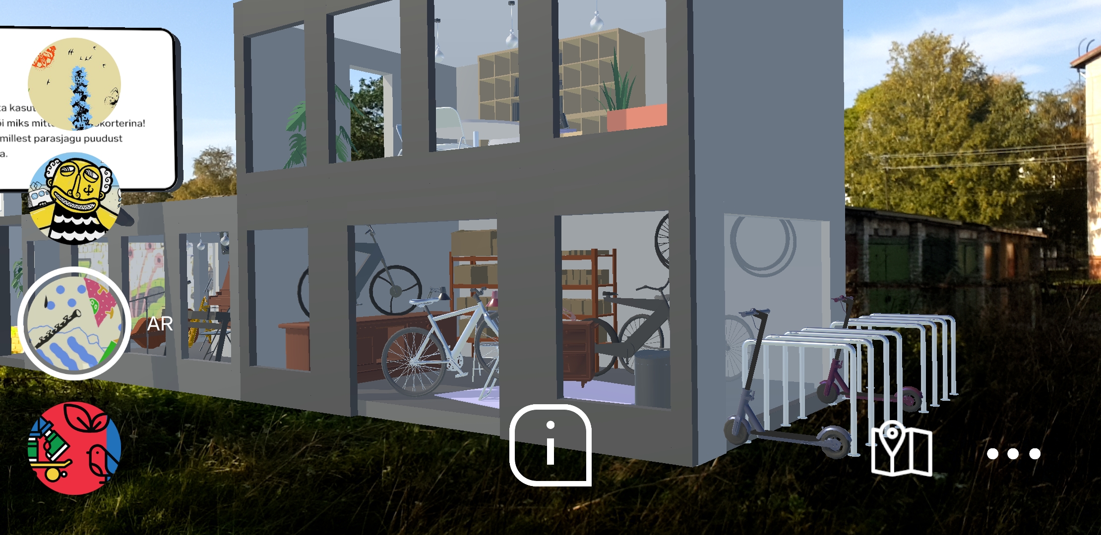
Kaja Pae: What are the apps of the city of Tallinn—Avalinn and Avalinn AR?
AvaLinn is the first co-creative app of Tallinn. Urban planners publish various types of public space projects in the app. It allows to make proposals directly on the drawing either at home or by so to speak moving around on the project in the urban space. Both the current and future views are displayed to make the planned changes easily comprehensible. Users can contribute in various languages, they can comment on, support or criticise other ideas and initiate a discussion. So far, the range of proposals for different projects has varied from two dozen to almost five hundred.
We are currently considering if we should develop also a desktop version of AvaLinn. A good alternative for that is the Finnish app Maptionnaire. AvaLinn requires some further development in terms of data analysis.

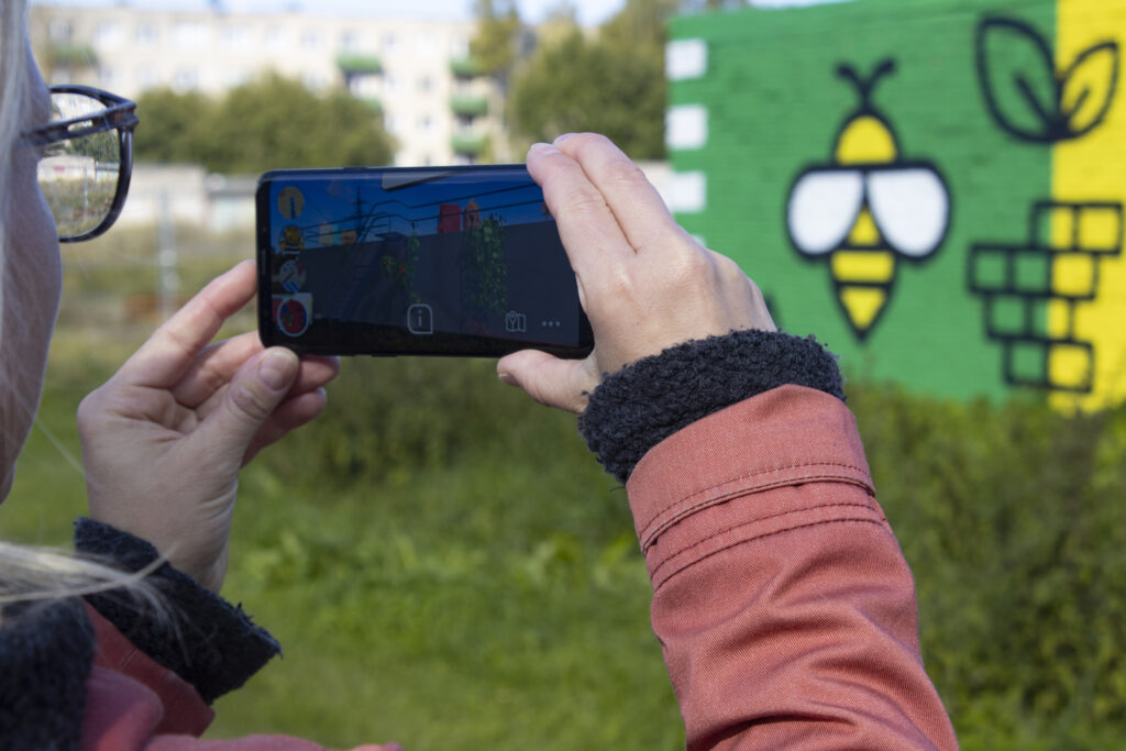
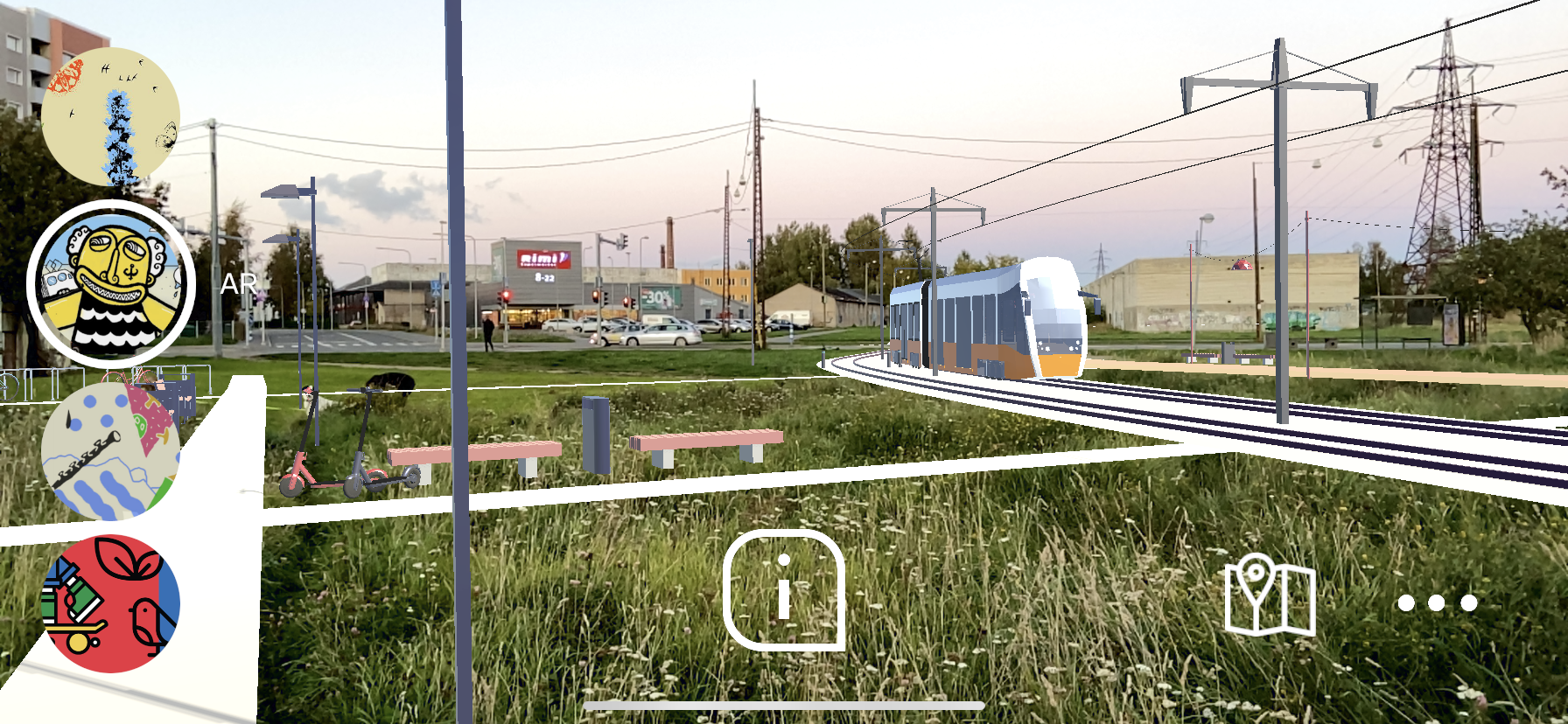
AvaLinn AR is an augmented reality app soon to be launched but it is already available for iOS/Apple users. Its testing ground was the section of Putukaväil (Insect Trail) between Sõle, Ehte, Puhangu Streets and Kolde Avenue in Northern Tallinn.
AvaLinn AR allows the users to experience the future developments of public spaces in augmented reality environment. The vision of Putukaväil will come to life once the phone is turned to the murals on the garages on Putukaväil. Moving around in the district, the users can see the exact location of the tram line, routes and activity areas.
At present, we are considering whether we should use the given app only as a means for visualisation or also develop an additional feedback function.
The main challenge for digital engagement tools is reaching all age and user groups as it is hindered by the digital competence of the elderly and the data protection issues regarding minors.
Digital apps will definitely not replace the traditional engagement methods such as public discussions and immediate communication. Urban planners consider the given apps as supplementary co-creative tools allowing to reach new target groups.

KAIDI PÕLDOJA, architect-strategist at Tallinn Urban Planning Department

ANNA SEMJONOVA, urban planner at Tallinn Urban Planning Department
HEADER: Co-creative app AvaLinn AR. Photo: Kaidi Põldoja
PUBLISHED: Maja 103 (winter 2021) Smart Living Environment